Polygon Evaluations
Create custom shapes over any basin to instantly generate geological insights, identify well activity, and curate a tailored report based on your acquisition criteria.

INTELLIGENCE BEYOND THE SURFACE
Streamline energy evaluations with AI powered geospatial analysis. Built by energy professionals. Designed for precision.
Now in Beta · Enterprise Ready
 Proud Google Cloud Partner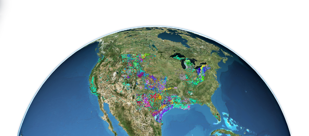
THE PLATFORM
Insights that accelerate decision making from weeks to minutes.
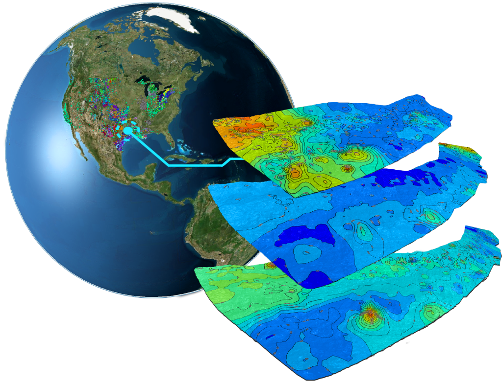
Create custom shapes over any basin to instantly generate geological insights, identify well activity, and curate a tailored report based on your acquisition criteria.
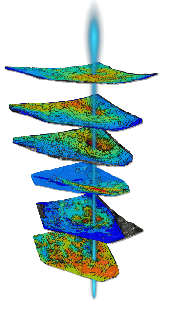
Explore 50+ stratigraphic layers and 500+ vibrant geological contour maps in a fully interactive 3D environment. Gain high resolution subsurface insights and seamlessly navigate between formations for faster evaluations.
Quickly forecast production and estimate EUR across multiple wells in seconds. Draw any area, select relevant wells, and generate best fit decline curves with detailed parameters to support smarter decisions.
Refine workspaces by applying multiple filters using attributes like operator, start date, location, status, zone, and more. Instantly generate a filtered production summary tailored to your criteria to improve analysis.
Generate and export acquisition reports with full transparency in seconds. Includes PDF summaries with images of your selected area, plus downloadable Excel files containing all inputs, geology, and economics.
Find anything, anywhere. Instantly locate wells by name, API, county, land grid, or address. Built with AI for speed and scale, it searches the entire globe to surface exactly what you need.
EXPLORE IN THREE DIMENSIONS
BUILT BY ENERGY PROFESSIONALS
Traditional land evaluation tools are slow, expensive, fragmented, and limited in scope. SIROS changes that.
Built by energy professionals, it combines AI powered analytics, real time 3D visualization, and an intuitive workflow. Spanning 8 basins, 50+ stratigraphic layers, and 500+ geological maps, SIROS opens up exploration and acquisition potential.
Whether you’re screening deals, evaluating AFEs, or prospecting new opportunities, SIROS supports faster decisions with precision, transparency, and scale.
REAL WORLD RESULTS
✓ Largest deal: $40M closed transaction
✓ Helped a client become the number 2 lease buyer in the Williston Basin
✓ Saved millions in G&A by replacing legacy tools
✓ Emerging from stealth, already adopted by high performing teams
"SIROS accelerated our deal flow by 10x. What used to take weeks of evaluation and cross-team back-and-forth now takes minutes. We’re evaluating more deals, making faster decisions, and moving forward with greater confidence."

Three Peaks Energy Ventures
Nonoperating energy investment firm
A BETTER EVALUATION PROCESS
See how SIROS transforms energy acquisition evaluation.
TRADITIONAL WORKFLOW
Acquisition and divestiture opportunities
Land, geology, reservoir engineering
Interest assignment, price and cost analysis
Leverage and return modelling
Too slow, too expensive
SIROS WORKFLOW
Acquisition and divestiture opportunities

Technical, economic, and financial evaluation in one place
Faster decisions, better outcomes
DRAW. ANALYZE. DECIDE.
Complete geological and economic analysis in three steps. From prospecting to decision making, SIROS brings the evaluation process together.
Define an area of interest by using the polygon tool. Draw a shape on the surface or subsurface to begin the evaluation process.
Instantly evaluate subsurface geology, petrophysical properties, type curves, existing wells, and key economic metrics.
Enter your deal criteria and receive a complete evaluation report in seconds that's ready for submission.
BUILT FOR YOUR NEXT PRESENTATION
White label ready for client presentations.
 Executive summary
 Detailed analysis
SIROS generates reports that include geological analysis, economic modeling, and visual data presentations, formatted professionally for immediate client delivery.
Complete geological and economic evaluation in one document
Professional reports ready for client presentation
Maps, charts, and 3D visualizations seamlessly integrated
Generate detailed reports in seconds, not hours
THE PEOPLE BEHIND SIROS
The architects behind our geological intelligence platform.
Chief Executive Officer
Chief Operating Officer
Chief Administrative Officer
Vice President of Geoscience
Senior Reservoir Engineer
VP of Land
Lead Backend Developer
Full Stack Developer
GIS Technical Director
OUR TECHNOLOGY FOUNDATION
SIROS is built on enterprise infrastructure and is proud to be recognized by industry leaders.
Google for Startups Program
CHOOSE YOUR PLAN
Bring speed, clarity, and confidence to your team with SIROS.
Explore SIROS with limited features.
Pricing depends on basin count, data loading needs, and team size.
Request pricingCustom solutions for large operations and unique requirements.
Contact salesA PLATFORM FOR INNOVATION
By combining your expertise with our geospatial engine, we can tackle challenges around sustainable energy, urban development, and climate resilience.
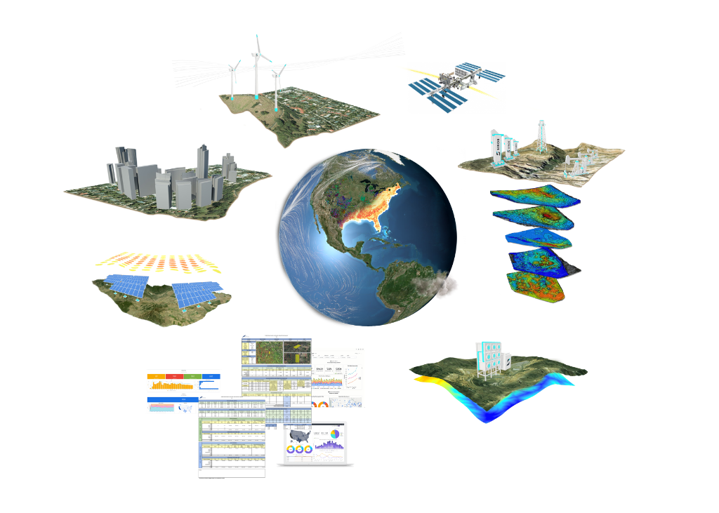
Join us in shaping the future of our planet.
GET TO KNOW SIROS
Get answers about SIROS and your geological analysis workflow.
SIROS (Strata Intelligence Real Time Operations Simulator) is a cutting-edge 3D geospatial engine designed to streamline the evaluation of energy resources across diverse stratigraphic layers. It combines AI powered analytics with real-time 3D visualization to help energy professionals make faster, more accurate geological decisions.
An AFE (Authorization for Expenditure) is a formal document used in the energy industry to estimate and approve the costs of drilling, developing, or operating a well. It outlines projected expenses and is required for internal budgeting, joint venture approvals, and investment decisions.
Simply draw any polygon shape over any basin on our interactive globe. SIROS instantly calculates full subsurface geology, identifies all existing wells within the boundary, and determines remaining well locations and drilling potential. The system auto-populates with predictive values based on our proprietary datasets before generating a report.
SIROS integrates data from 50+ stratigraphic layers, live NYMEX pricing, comprehensive well databases, geological surveys, and proprietary datasets. All data is continuously updated to ensure the most current information for your analysis.
Yes! SIROS generates comprehensive reports in Excel, PDF, and image formats. These white label ready reports include geological analysis, economic modeling, maps, charts, and 3D visualizations - perfect for client presentations and internal documentation.
Our ML powered Type Curve Generator uses advanced algorithms trained on extensive historical production data. The system continuously learns from new data inputs to improve accuracy. Results include confidence intervals and are validated against actual production outcomes.
SIROS currently covers all major U.S. energy basins including the Williston, Powder River, Denver, Midland, Jurassic, Delaware, Anadarko, and the Eagle Ford. We're continuously expanding coverage and adding new regions based on user demand and data availability.
SIROS is designed to be intuitive for energy professionals. The web based interface eliminates the need for complex software installations. We provide comprehensive onboarding, training materials, and dedicated support to ensure you're productive from day one.
We offer three tiers: Free (limited features for exploration), Pro (full access), and Enterprise (custom pricing for large organizations). All plans include different levels of evaluation area access, data, and support.
Pro and Enterprise users receive dedicated technical support, training resources, and regular product updates. Enterprise customers get priority support, custom integrations, and dedicated account management.
Yes, Enterprise customers can access custom integrations to connect SIROS with existing geological, economic, and business systems. Our team works with you to ensure seamless integration into your current processes.


